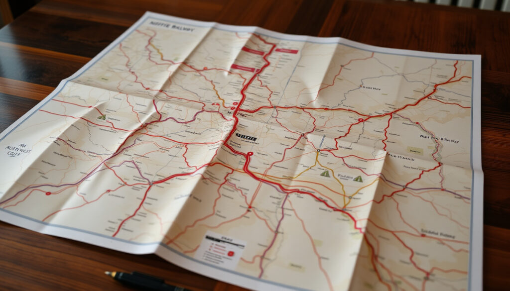
South Western Railway Map: Stations, Network & PDF Download
If you’ve ever stared at a rail map trying to figure out whether your local station actually connects to the main line, you’re not alone. The South Western Railway network stretches from the heart of London all the way to the Dorset coast, serving over 200 destinations — but knowing exactly which maps show what can save you real planning time. This guide walks you through the latest official SWR maps, where to find them, and what each format actually tells you before you set off.
Destinations served: Over 200 · Main line route: Waterloo to Weymouth · Key connections: London Underground, Overground, Trams · Map formats available: Interactive, PDF · Network coverage: London to South West England
Quick snapshot
- SWR serves over 200 destinations (South Western Railway Official Site)
- Main line runs Waterloo to Weymouth (SWR Network Map May 2025)
- Official maps at southwesternrailway.com (South Western Railway)
- Exact station count not enumerated exhaustively in public maps
- 2026 map edition details not yet confirmed
- LSWR founded 1838, ceased 1922 — current SWR operates 200+ years later (Wikipedia)
- Current May 2025 map edition available; National Rail March 2026 edition released (National Rail)
- Network updates expected with future timetable changes
- National Rail map refresh cycle continues quarterly
| Field | Value |
|---|---|
| Operator | South Western Railway |
| Headquarters station | London Waterloo |
| Primary route | Waterloo–Weymouth |
| Destinations | Over 200 |
| Map source | southwesternrailway.com/plan-my-journey/our-network |
| Latest map edition | May 2025 |
| National Rail edition | 26 March 2026 |
| On-train map dimensions | 290mmW × 410mmH |
What stations are on the south western main line?
The South Western main line runs from London Waterloo straight through to Weymouth, with major hubs at Woking, Basingstoke, Winchester, Southampton Central, Bournemouth, and Poole along the way. If you’re planning a journey beyond the immediate London suburbs, knowing which intermediate stops matter most can cut your research time significantly.
Waterloo to Weymouth route
- London Waterloo (primary SWR hub, connected to Underground and Overground)
- Clapham Junction (interchange, one of Europe’s busiest)
- Woking (key suburban interchange)
- Basingstoke (regional hub for Hampshire)
- Winchester (historic city centre station)
- Southampton Central (major port city connection)
- Bournemouth (coastal hub)
- Poole (serves Poole Harbour and Sandbanks)
- Weymouth (terminus on the Dorset coast)
Key intermediate stops
Beyond the headline stations, the line serves dozens of smaller stops worth noting if you’re travelling locally. Guildford sits on the Portsmouth line as a key university town interchange, while Brockenhurst gives access to the New Forest. The May 2025 network map shows the full station list extending east toward Reading and west toward Dorchester, Swanage, and Bridport.
The main line covers roughly 140 miles of track — longer than many people expect. If you’re planning beyond a simple London commute, download the official PDF map to see the complete station inventory before you commit to a route.
What areas does the South Western Railway cover?
SWR’s coverage stretches from inner London suburbs all the way to the tip of Dorset, but the network is far from a single uniform zone. The operator groups its territory into distinct areas with different route densities and map formats.
London and suburbs
The London suburban network is the most intensive part of SWR’s operations. Stations like Wimbledon, Putney, Richmond, and Hounslow sit on branches that feed directly into Waterloo. The PAYG (Pay As You Go) map variant highlights contactless payment zones across this region, making it clear where you can tap on and off without a full ticket.
South West England towns
Beyond Basingstoke, the network opens into the towns that define South West England: Exeter, Plymouth, Torquay, and Paignton appear on extended regional maps, though some fall under Great Western Railway in practice. The Devon and Cornwall Rail Partnership publishes a separate high-resolution map covering all stations in that region as a supplement to the main SWR documentation.
SWR’s coverage overlaps with Great Western Railway in south west England, so a single operator map won’t show you every station. If you’re travelling past Exeter or into Cornwall, cross-reference the Devon and Cornwall Rail Partnership PDF alongside the official SWR map.
Where does the South Western Railway run?
The network’s primary character is coastal and commuter: it follows the south coast of England from Southampton through Bournemouth and Poole to Weymouth, while inland routes fan out toward Portsmouth, Bristol, and Exeter via several junction points.
Primary routes
- South West Main Line: Waterloo → Weymouth (via Southampton, Bournemouth)
- West Coastway: Southampton → Portsmouth → Brighton connections
- Basingstoke to Exeter: Inland route via Winchester, Salisbury, Yeovil
- Portsmouth Direct: Guildford → Havant → Portsmouth
Branch lines and connections
Three notable branch lines extend the core network: the Heritage Railway branch to Swanage (seasonal through-services), the Island Line serving the Isle of Wight from Ryde to Shanklin, and the Alton branch in Hampshire. Ferry connections to the Isle of Wight Steam Railway appear on the May 2025 map, marking where rail meets maritime travel.
International connections also feature: the map shows links to Channel Islands ferries from Portsmouth and Poole, plus coach connections to French ports via cross-channel services.
Branch lines like Swanage and the Isle of Wight run on reduced timetables outside peak summer. The official maps show these routes exist, but frequency details require checking the live timetable rather than the static map.
South Western Railway map PDF download
Getting the right map format matters if you want something actually useful on your phone, tablet, or printed out. SWR offers multiple PDF variants, each designed for a different use case.
Official PDF links
- SWR Network Overview Page — entry point for all downloadable maps
- Full Network Map (May 2025 edition) — the primary reference document
- PAYG Network Map — highlights contactless payment zones
- National Rail Maps — comprehensive UK-wide reference, May 2025 edition
Latest versions including 2025–2026
The May 2025 SWR network map is the current primary edition, showing all stations from Waterloo to Swanage, Dorchester, and Bridport. The on-train version measures 290mm wide by 410mm high — the physical size you’ll see displayed in carriages. National Rail’s South East and All Stations Route Maps were updated to their March 2026 editions (26 March 2026), which include SWR routes alongside the rest of Great Britain’s rail network.
The PAYG map variant is essential if you use contactless payment in London, but it’s less useful for planning longer-distance journeys where you need the full network view. Save both versions to your device — you’ll want the right one depending on whether you’re taking a quick suburban trip or a coast-to-coast adventure.
South Western Railway stations list and London map
Beyond the visual network diagram, SWR provides tools for finding specific stations and understanding exactly how your local stop connects to the wider network.
Full stations overview
The SWR Routes page lists popular stations with their three-letter codes (WAT for Waterloo, SOU for Southampton Central, WOK for Woking, GLD for Guildford, BSK for Basingstoke, WIN for Winchester, CLJ for Clapham Junction). These codes matter when booking cross-operator journeys or using rail card discounts.
London suburban network
The interactive online map at southwesternrailway.com lets you search any station and see its connections, while the PAYG PDF map specifically marks contactless zones across the London suburban area. The National Rail All Stations Route Map (covering Great Britain as of 26 March 2026) shows how SWR’s London network integrates with Underground, Overground, and DLR services.
The historical South West Trains network map (version 15b, circa 2015) is still available for reference, showing how the pre-SWR network looked before the franchise transition.
The implication: with these three resources saved to your device, you can answer route questions in seconds rather than scrolling through multiple websites or standing confused at the station.
What riders and officials say
Discover the full network map of over 200 destinations on the South Western Railway Network.
— South Western Railway (Official Operator)
The London and South Western Railway (LSWR, sometimes written L&SWR) was a railway company in England from 1838 to 1922.
— Wikipedia Editors (Encyclopedia)
Travellers who bookmark the May 2025 official PDF gain the full network view for journey planning beyond London. Those who also save the PAYG variant can tap on and off across the London suburban area without buying separate tickets. Bookmarking National Rail’s March 2026 map ensures you have cross-operator context for journeys that span multiple rail companies. Passengers who use all three resources together will find that even the most complex SWR routes become straightforward to navigate.
Related reading: Cardiff Central Train Station map · AA Route Planner UK maps
projectmapping.co.uk, southwesternrailway.com, southwesternrailway.com
Frequently asked questions
What is included on the South Western Railway network map?
The map shows all SWR stations from London Waterloo to Weymouth, Swanage, Dorchester, and Bridport, including branch lines to the Isle of Wight, Alton, and Portsmouth Direct routes. Ferry connections, junction points, and interchange information with other operators are also marked.
How do I access the interactive SWR map?
Visit South Western Railway’s network page to access the interactive viewer. From there you can search stations, zoom into specific regions, and download PDF versions for offline use.
Are there maps for specific routes like London suburban?
Yes. The PAYG (Pay As You Go) map variant highlights contactless payment zones across the London suburban network. National Rail’s South East map shows the Network Railcard area including SWR services, updated March 2026.
What are the ferry connections shown on the map?
The May 2025 network map marks ferry routes connecting to the Isle of Wight Steam Railway (from Portsmouth and Poole), plus international connections to Channel Islands services. Coach links to French ports are also indicated.
Is the South Western Railway map updated regularly?
SWR releases updated PDF editions periodically — the May 2025 edition is the current primary version. National Rail maps are refreshed quarterly, with the latest All Stations Route Map dated 26 March 2026.
How to find a specific station on the SWR map?
Use the station search on the SWR Routes page to look up any station by name or code. The interactive online map also supports zoom-and-click navigation to individual stations.
Does the map show heritage railways?
The Swanage branch and Isle of Wight Steam Railway appear on the official map with heritage status noted. The Devon and Cornwall Rail Partnership publishes separate mapping for heritage lines in that region.
How has the SWR network evolved from its predecessor?
The London and South Western Railway (LSWR) operated from 1838 to 1922, originally as the London and Southampton Railway. The modern SWR network retains the core London–Southampton–Weymouth corridor but now operates under different franchise structures with updated service patterns. Historical maps from South West Trains (version 15b, circa 2015) show the pre-SWR state of the network.
More related posts
 La Roche-Posay Sunscreen – Best Picks for Sensitive Skin
 Chick-fil-A Leeds – Location Hours Menu Details
 Emmanuelle Béart: French Actress, César Winner & M:I Star
 Sarah Levy: Schitt’s Creek Role, Family, and Judge Judy Myth
 Barcelona vs Real Betis: Preview, H2H, Lineups & Tickets
 Alex Greenwood: Biography, Partner, Salary & Injury Update
 Enterprise Rent-A-Car Ireland: Deposit, Costs & Cheapest Days